

Introduction to Topography Generation
The goal of this report was to research various forms of terrain data and how that data can be converted into meshes for terrain modeling. The project also focuses on relevant features and techniques of photogrammetry. It describes the use of terrain models in conjunction with high resolution images to construct photo-realistic landscapes.
As part of this research, a basic C++ and OpenGL application was created to display the height field mesh information for a Digital Terrain Model (DTM) dataset. There is additional information on the challenges of displaying large DTM datasets.
The figure below shows a virtual terrain created using Terragen.
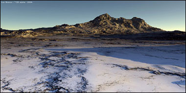
Topography produced by Terragen.